GANGTOK: A Glacial Lake Susceptibility Study and Community Outreach expedition to Mangan District is set to be flagged off from August 28 to September 14.
The pre-expedition briefing took place at the conference hall of Sikkim State Disaster Management Authority(SSDMA) on August 23 in the presence of Ms Namratha Thapa, Relief Commissioner cum Secretary, Land Revenue & Disaster Management Department(LR&DM), Mr Sandeep Tambe, APCCF cum Secretary, Science & Technology Department(DST) and Ms Dicky Yangzom, Secretary, Mines & Geology Department.
The expedition is a joint venture spearheaded by the SSDMA and the Department of Science and Technology along with the participation of various sectors, including six departments of the State Government, namely, Science and Technology, Mines and Geology, Land Revenue and Disaster Management, Water Resources Department, Forest and Environment and Information and Public Relations Department. The Experts from Sikkim University, the Geological Survey of India and the Central Water Commission, will also be a part of the expedition. The Pipon of Lachen will ensure full community support. The Indian Army and the Indo-Tibetan Border Police will be providing all necessary assistance to the multidisciplinary team.
Mr Sandeep Tambe, Secretary of Science and Technology, informed that Sikkim has 16 high-risk lakes in Sikkim. Among them, 13 are in Mangan district, and three are in Gyalshing district. The objective of this expedition is to conduct a detailed susceptibility assessment of 5 high-risk glacial lakes, namely Khangchung Choo, Gurudongmar Lake A, Gurudongmar Lake B, Gurudongmar Lake C, and Shako Chu, he said.
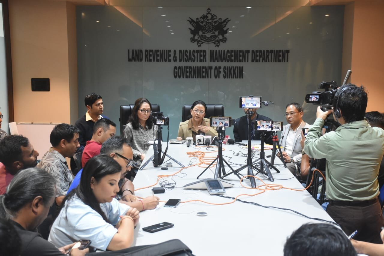
He also appraised the gathering that the team comprises 32 members, including 3 Secretaries from LR&DM, the Science and Technology Department, and the Mines and Geology Department. The briefing was followed by a press conference chaired by Ms Namratha Thapa, Relief Commissioner cum Secretary, Land Revenue & Disaster Management Department, accompanied by Mr Sandeep Tambe, APCCF cum Secretary, Science & Technology Department, Ms Dicky Yangzom, Secretary, Mines & Geology Department. Also present were Mr DG Shrestha, principal director, DST, Mr Prabhakar Rai, Director, SSDMA, Mr Keshav Kr Luitel, Additional Director, Mines & Geology Department, Mr Kasang Lachenpa, Pipon Lachen Dzumsa, senior officials of concerned departments and members of the expedition.
During a press briefing, the Relief Commissioner of the State Disaster Management Authority (SSDMA) provided an update on the glacial lake outburst flood that occurred last year on October 3-4. She emphasized that under the leadership of the State Government, the SSDMA and allied departments swiftly implemented various measures to assist those affected by the disaster. She stated that the government acted promptly to ensure that immediate relief and rehabilitation efforts were carried out effectively, providing essential support to the affected communities.
Additionally, she informed that to further mitigate the risk of glacial lake outburst floods in the future, the government has established a Technical Committee tasked with reviewing the current status of glacial lakes in the state. This committee comprises experts from various fields, who will assess the stability of these lakes and recommend necessary measures to minimize the risk of future disasters, she added.
Ms Dicky Yangzom, Secretary, Mines & Geology Department informed that her team of 7 members will conduct extensive studies to look into the SubSurface Geological conditions of these lakes. Mr Sandeep Tambe, Secretary of Science and Technology, said that the Multi-Disciplinary Team is focusing on reducing the hazard from the glacial lakes. He spoke about the four-step approach which includes, preliminary identification of the high-risk lakes, multi-disciplinary studies, actual structural interventions and mitigation plans. He informed that the identification step has been completed.
Mr. Prabhakar Rai, Director of SSDMA, emphasized the significance of the Participatory Rural Appraisal (PRA) exercise conducted from Rangpo to Chungthang. He also mentioned the use of Google Maps in the ongoing efforts, where the team will visit various locations and engage with local communities to identify high-risk areas.
The main objective of the press briefing was to inform about the expedition of the multi-disciplinary team. The expedition represents a critical step towards safeguarding the vulnerable downstream communities and assets from the potential threats posed by glacial lake outburst floods by combining scientific research with community engagement, it was informed.